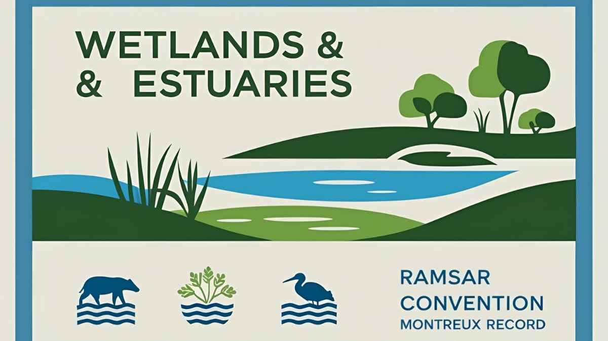
Wetlands, Ramsar Convention, Montreux Record, Estuaries
Wetlands
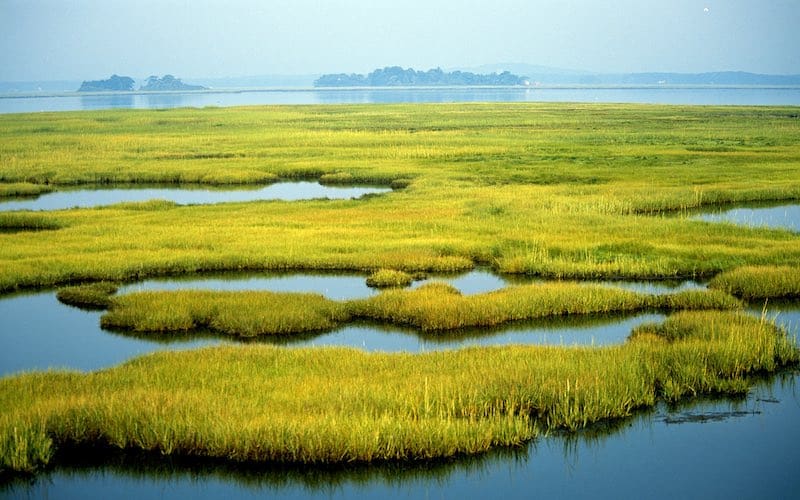
Areas intermediate in character between deep-water & terrestrial habitats, transitional in nature & often located in-between them (Riparian >> relating to or situated on the banks of a river)
- Experience periodic flooding, often contain water logged & hydric soils (Not enough oxygen for plants) with Hydrophytes & halophytes plant types
- Wetlands (usually less than 3 m deep over most of their area) are rich in nutrients & abundant in growth of aquatic macrophytes
- Support high densities & diversities of fauna & have high value of biodiversity conservation.
Ramsar Convention
- an international treaty for the conservation & sustainable utilization of wetlands, recognizing the fundamental ecological functions of wetlands & their economic, cultural, scientific, & recreational value
- named after the city of Ramsar in Iran, where the Convention was signed in 1971;
- Canada has the highest area under wetland and UK has highest number of wetlands

Montreux Record
- a register of wetland sites on the List of Wetlands of International Importance where changes in ecological character have occurred, are occurring, or are likely to occur as a result of technological developments, pollution or other human interference
- a voluntary mechanism to highlight specific wetland of international importance under the Ramsar convention, which are facing immediate challenges
Estuaries
- located where river meets sea which means freshwater from river mixes with salt water of the oceans via tides
- Estuaries are the most productive water bodies in the world, located at the lower end of the river & are subjected to tidal fluctuations
- An estuary is semi enclosed coastal body of water with one or more rivers or streams flowing into it with free connection to open sea
- Complete salinity range from 0 to 35 PPT is found, from the head (River end) to the mouth (Sea end)
- Depicted as most productive regions & heavily populated with about 60 % of world population, living along estuaries & coasts.
- Trapping of suspended mud & sand carried by the rivers leads to formation of deltas alongside estuaries
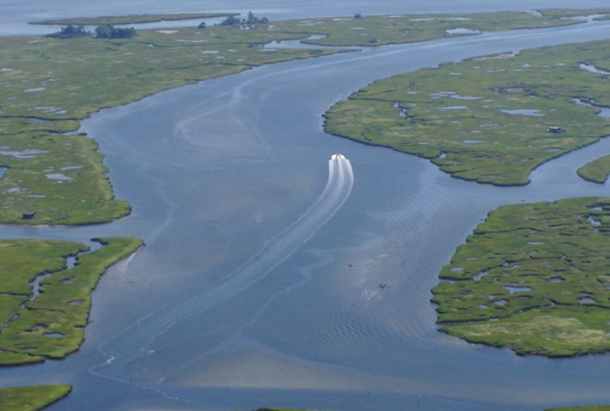
- Referred by different names as lagoons, inlets, bays, harbours etc. (Coastal lakes which have their connection with the sea through small openings are better known as lagoons or backwater)
- In India, major estuaries occur at bay of Bengal as most of the rivers in peninsular India are west to east flowing & hence on the eastern coast (Larger in size than estuaries at western coast)
For more updates, explore the Environment category. Feel free to share your thoughts and comments
If you’re passionate about building a successful blogging website, check out this helpful guide at Coding Tag – How to Start a Successful Blog. It offers practical steps and expert tips to kickstart your blogging journey!


2 comments
Hi, would you be providing information on the Environment related organizations and treaties?
Thank you very much..much needed information for every aspirant